
Burney
Height 978 feet/298metres
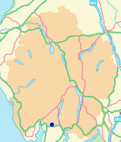
Grid Reference SD 261 859
Area
Wainwright - Outlying Fell
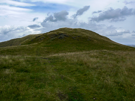
Approaching Burney's summit from the Woodland Fell Road.
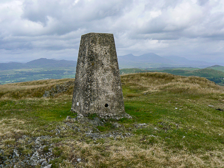
The trig point on the summit of Burney.
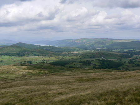
Coniston Water and the Top o'Selside from Burney's summit.
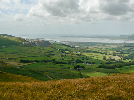
The Duddon Estuary from Burney's summit.
Woodland Fell Road - Great Burney (OF) - Little Burney - Mawthwaite Moss - Woodland Fell Road
All pictures copyright © Peak Walker 2021
©Crown copyright. All rights reserved. Licence number 100045184.