
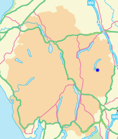
High Howes (Mardale)
Height 2208 feet/673metres
Grid Reference NY 488 103
Area
Birkett - Eastern Fells, Branstree Group - Top No. 161
Nuttall - Lake District, Far Eastern Fells: Walk 7.4
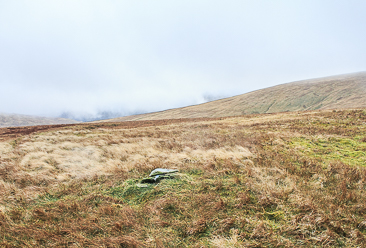
The stones that mark the summit of High Howes.
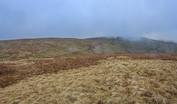
High Howes from Selside Pike.
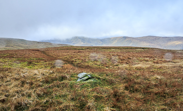
Approaching High Howes summit.
Lay-by Haweswater Road - Corpse Road - Brown Howe - Mardale (394) - Selside Pike (395) - High Howes - Mardale (396) - Branstree (397) - Gatescarth Pass - Mardale Head - Lay-by Haweswater Road
All pictures copyright © Peak Walker 2021
©Crown copyright. All rights reserved. Licence number 100045184.