
Powley's Hill
Height 1526 feet/465metres
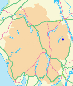
Grid Reference NY 505 135
Area
Birkett - Eastern Fells, Branstree Group - Top No. 378
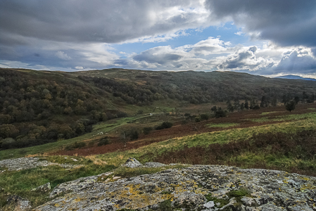
Powley's Hill from Harper Hills' summit.
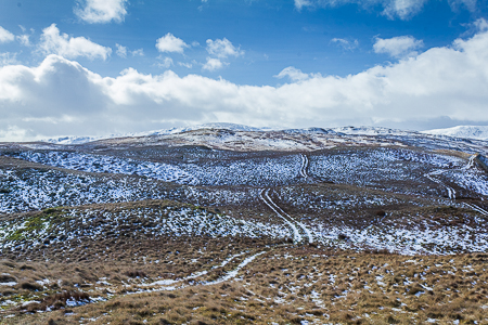
The accepted summit of Powley's Hill.
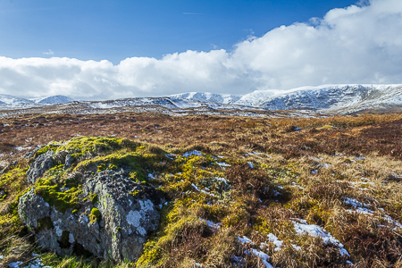
Kidsty Pike from Powley's Hill.
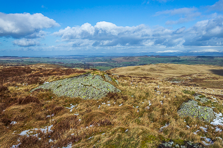
Powley's Hill seen across Naddle Beck from Highfield Crag.
Naddle Bridge - Naddle Farm - Scalebarrow Knott (402) - Harper Hills (403) - Powley's Hill (404) - Hare Shaw (405) - Naddle High Forest (406) - Wallow Crag (407) - Hugh's Laithes Pike (OF) - Naddle Low Forest - Naddle Farm - Naddle Bridge
All pictures copyright © Peak Walker 2021
©Crown copyright. All rights reserved. Licence number 100045184.