
Selside Pike
Height 2149 feet/655metres
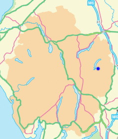
Grid Reference NY 491 112
Area
Birkett - Eastern Fells, Branstree Group - Top No. 177
Wainwright - The Far Eastern Fells
Nuttall - Lake District, Far Eastern Fells: Walk 7.4
Hewitt - Region 34C: Eastern Fells
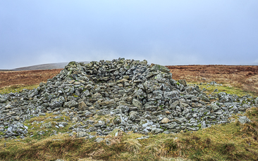
The shelter on Selside Pike's summit.
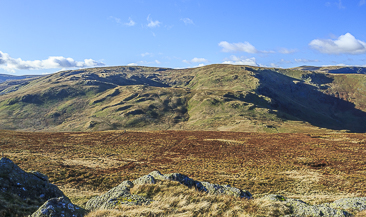
Selside Pike from High Wether Howe.
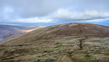
Looking across Captain Whelter Bog to Selside Pike.
Lay-by Haweswater Road - Corpse Road - Brown Howe - Mardale (394) - Selside Pike (395) - High Howes - Mardale (396) - Branstree (397) - Gatescarth Pass - Mardale Head - Lay-by Haweswater Road
All pictures copyright © Peak Walker 2021
©Crown copyright. All rights reserved. Licence number 100045184.