
Wallow Crag
Height 1421 feet/433metres
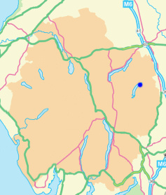
Grid Reference NY 496 149
Area
Birkett - Eastern Fells, Branstree Group - Top No. 413
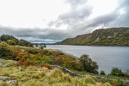
Looking across Haweswater to Wallow Crag.
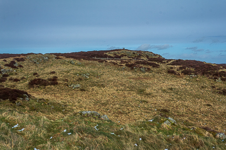
Wallow Crag.
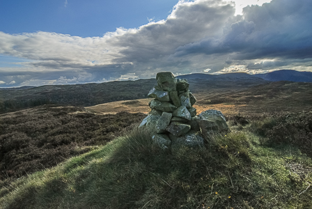
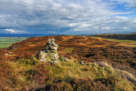
Wallow Crag's summit cairn.
Naddle Low Forest from Wallow Crag's summit.
Haweswater Hotel - Old Corpse Road - Ritchie Crag - Woof Crag - Hare Shaw (OF) - Naddle High Forest (OF) - Wallow Crag (OF) - Hugh's Laithes Pike (OF) - Naddle Low Forest (421) - Naddle Farm - Haweswater Hotel
Naddle Bridge - Naddle Farm - Scalebarrow Knott (402) - Harper Hills (403) - Powley's Hill (404) - Hare Shaw (405) - Naddle High Forest (406) - Wallow Crag (407) - Hugh's Laithes Pike (OF) - Naddle Low Forest - Naddle Farm - Naddle Bridge
All pictures copyright © Peak Walker 2021
©Crown copyright. All rights reserved. Licence number 100045184.