
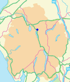
Wren Crag
Height 1020 feet/311metres
Grid Reference NY 316 202
Area
Birkett - Central Fells, Dodd's Group - Top No. 539
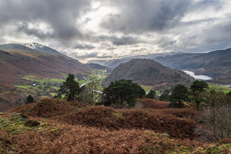
Looking down the valley towards Grasmere from just below the summit.
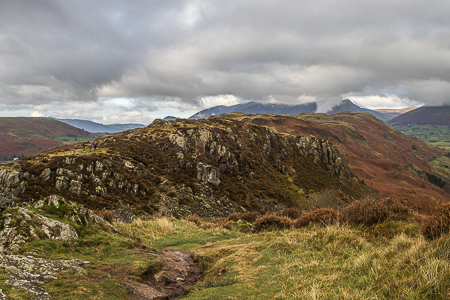
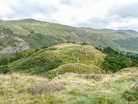
Looking along High Rigg to the two other Birkett summits from Wren Crag.
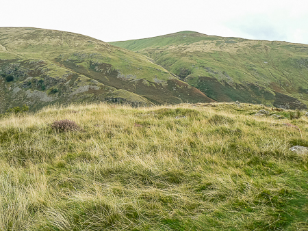
Two minor, unmarked bumps compete for the title of summit of Wren Crag,
but the unmarked one on the left seems closest to the grid reference.
Looking back to Wren Crag from Long Band.
Legburthwaite car park - Wren Crag - Long Band - Moss Crag - High Rigg (L) - St John's Church - Low Bridge End Farm - Legburthwaite car park
Legburthwaite - Wren Crag (289) - High Rigg (290) - Naddle Fell (291) - Church of St John's in the Vale - Legburthwaite
All pictures copyright © Peak Walker 2023
©Crown copyright. All rights reserved. Licence number 100045184.