
Burney
Grid Reference: SD 26079 85865
Flush Bracket Number: S5382
Type: Pillar
Built: 1st May 1949
Historic Use: Secondary
Current Use: None
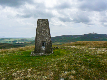
Kirkby Moor seen behind Burney's trig point.
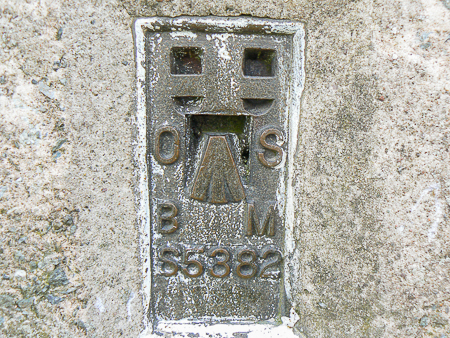
Burney trig's Flush Bracket.
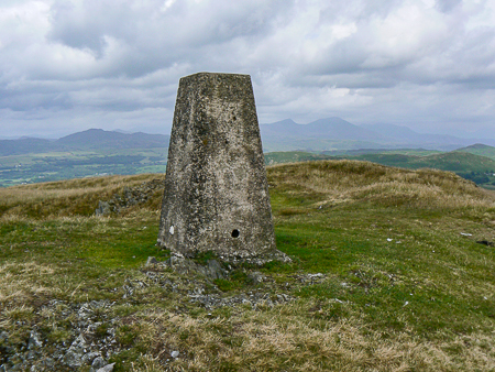
Looking towards the Coniston Fells from Burney's trig.
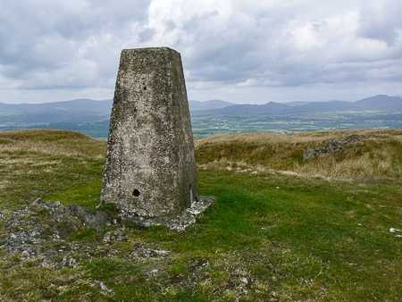
The Dunnerdale Fells from Burney's trig point.
Woodland Fell Road - Great Burney (OF) - Little Burney - Mawthwaite Moss - Woodland Fell Road
All pictures copyright © Peak Walker 2006-2021