
Loadpot Hill
Grid Reference: NY 45683 18122
Flush Bracket Number: 10789
Type: Pillar
Built: 3rd June 1960
Historic Use: Secondary
Current Use: None
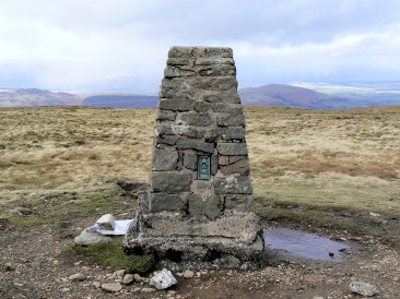
Loadpot Hill's trig point.
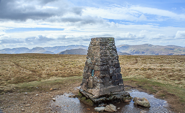
Loadpot Hill's trig point with the Dodds
and Helvellyn in the background.
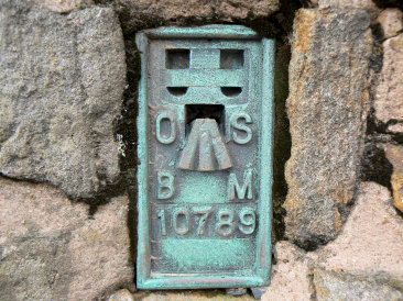
Loadpot Hill's Flush Bracket.
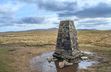
Looking towards High Raise.
Askham - Heughscar Hill - High Street Roman Road - Loadpot Hill - High Street Roman Road - Askham Fell - Askham
Roehead - Barton Fell - Arthur's Pike (229) - Bonscale Pike (230) - Swarth Fell (231) - Loadpot Hill - High Street Roman Road - Roehead
Moorahill Farm - Hause End - Low Kop (136) - Red Crag (137) - Wether Hill (138) - Loadpot Hill (139) - Hart Hill - Moorahill Farm
All pictures copyright © Peak Walker 2006-2022