
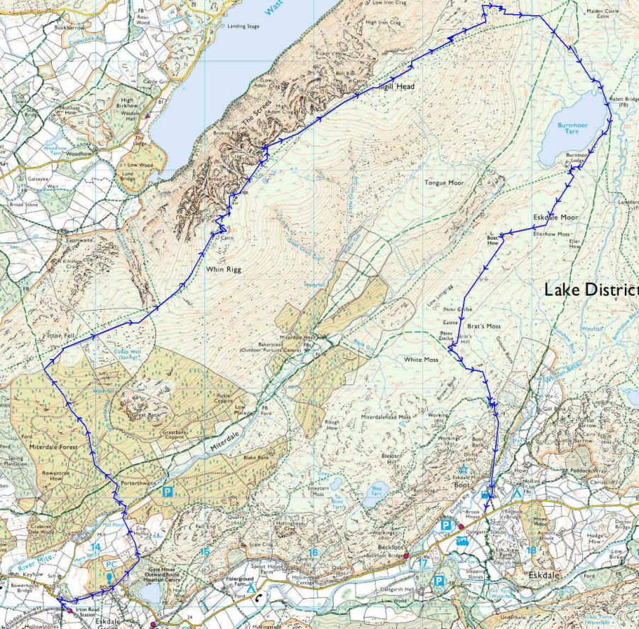
Tuesday 13th May 2008 The Screes Route Map
Route:
Irton Road Station - Miterdale Forest - Irton Fell - Whin Rigg - Illgill Head - Burnmoor Tarn - Boat How - Boot
© Crown copyright. All rights reserved. Licence number 100045184
Back to walk
All pictures copyright © Peak Walker 2006-2023